Rail Trails and Other Things
I love rail trails
Hi again! Just lying down after day two of my trip. Today was great, with some spectacular scenery. Going into the day knew that there were some steep uphills, some rail trail sections, and a nice downhill stretch to finish things off. On that note, I love the Google maps elevation profile preview when routing bike routes.
After a quick breakfast, I found myself tracking the first hilly section to come up to the top of a picturesque farming community on a hill in Rutland overlooking Muschopauge Pond.
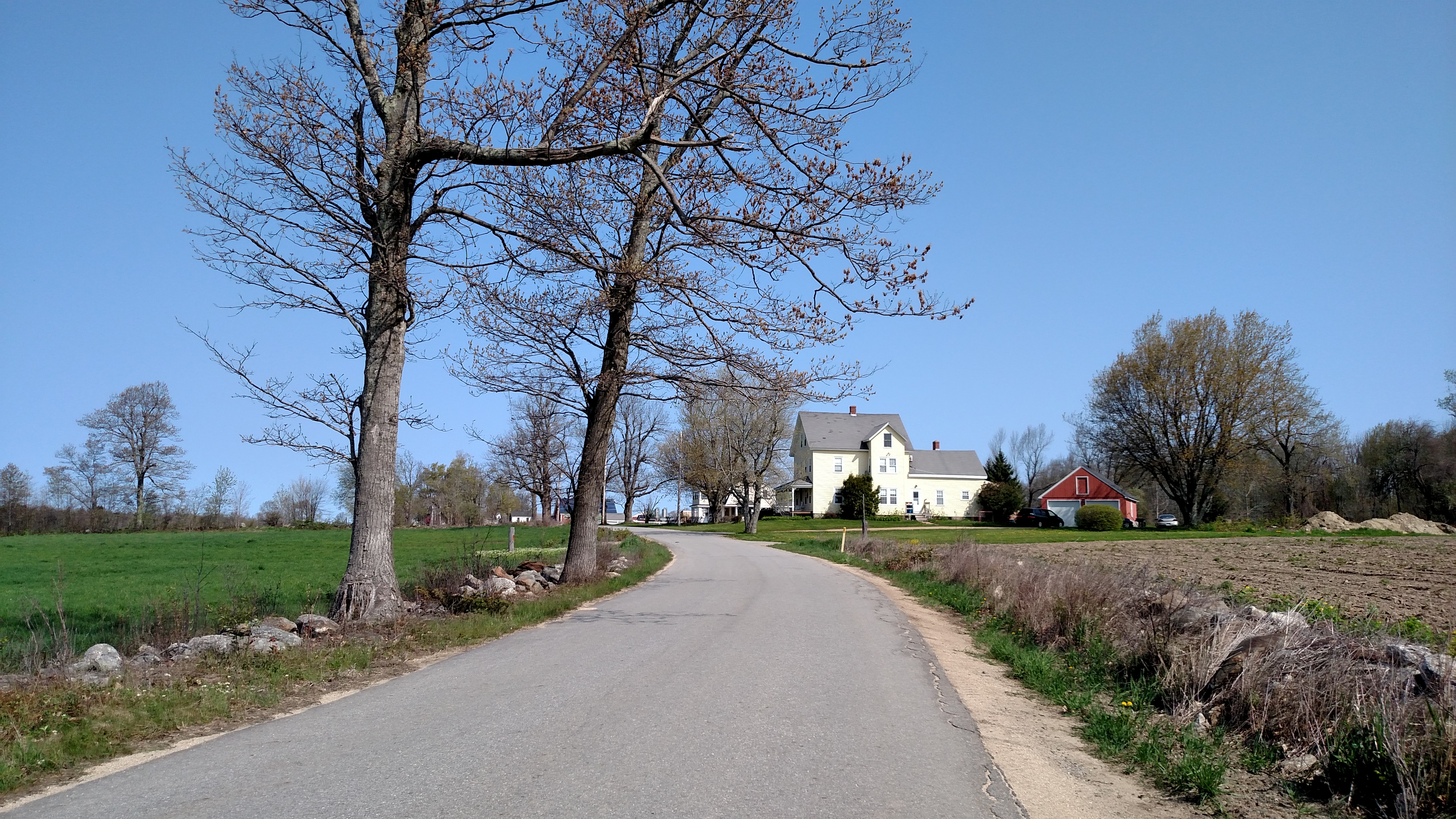 On top of the first hill
Soon after, I found the entrance to the Mass Central Rail Trail, which is one of many rail trails in the region built over sections of the old Boston and Maine Railroad lines. I’m very grateful that these retired tracks of land have been repurposed to benefit walkers, runners, bikers, and the like. I enjoyed this section of the day the most.
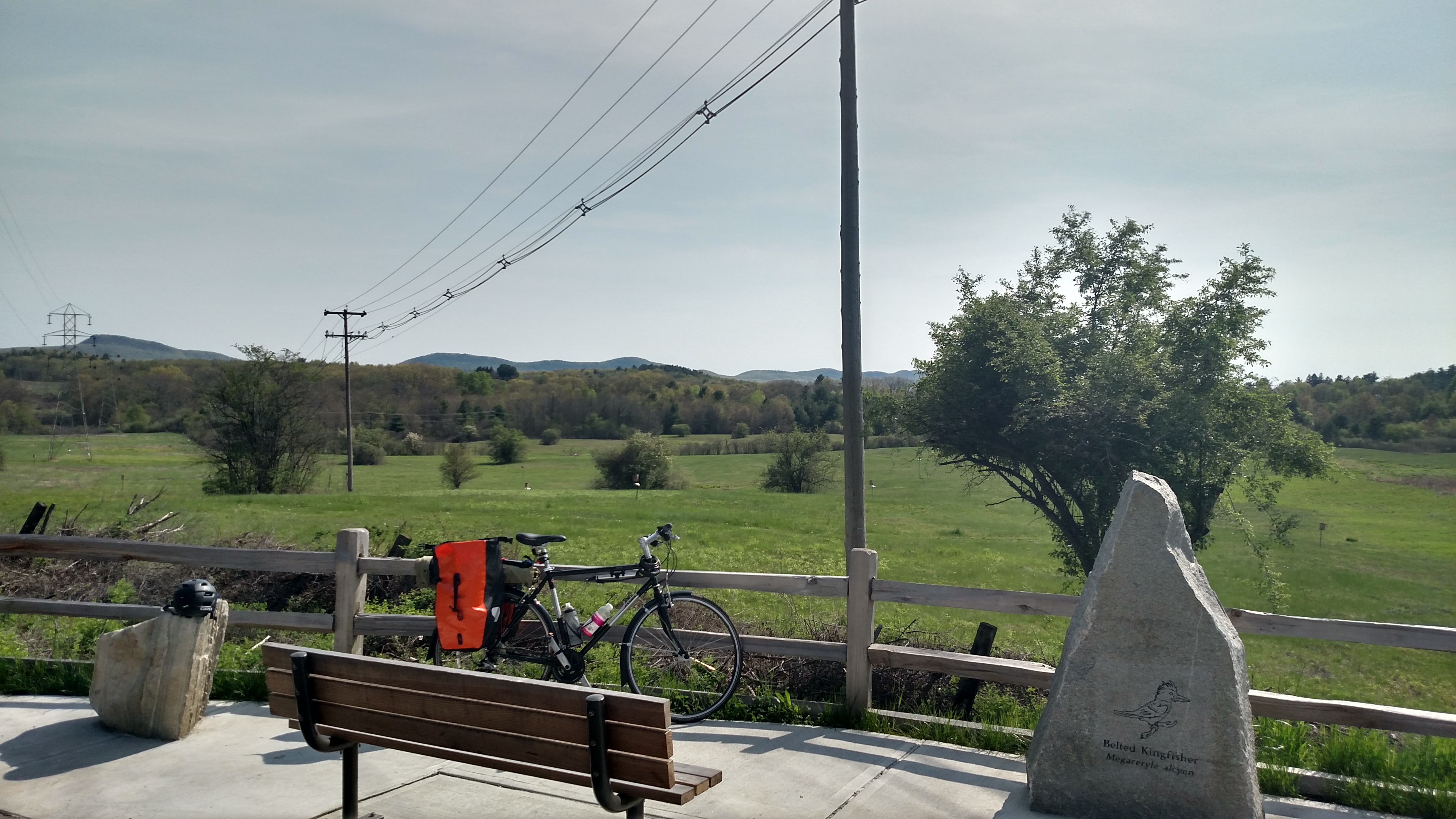
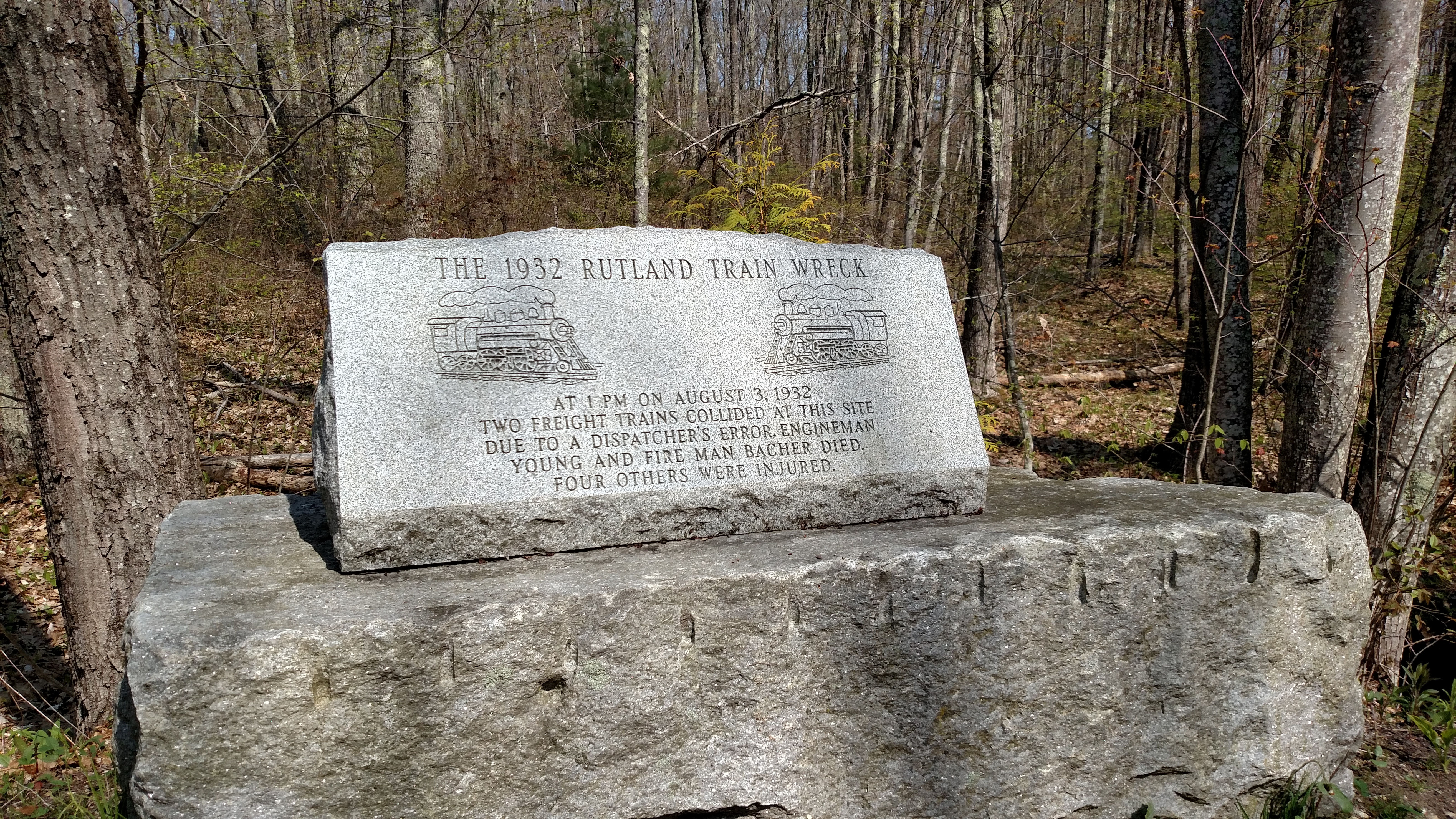 Moment of silence on the trail
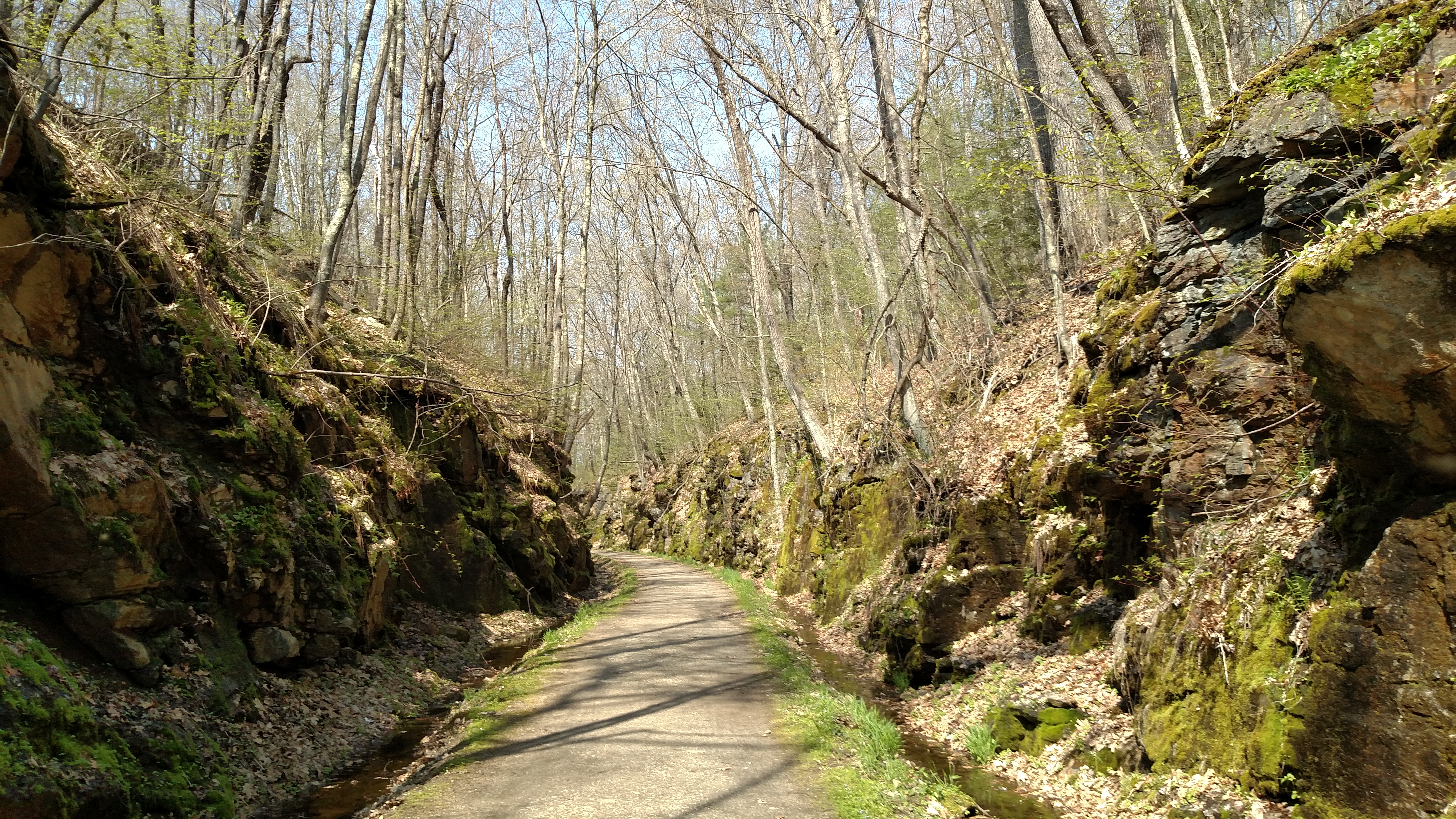 A neat stretch that cut through a hill. I didn’t stop, as bugs were in the air due to water running down the rocks, pooling on either side
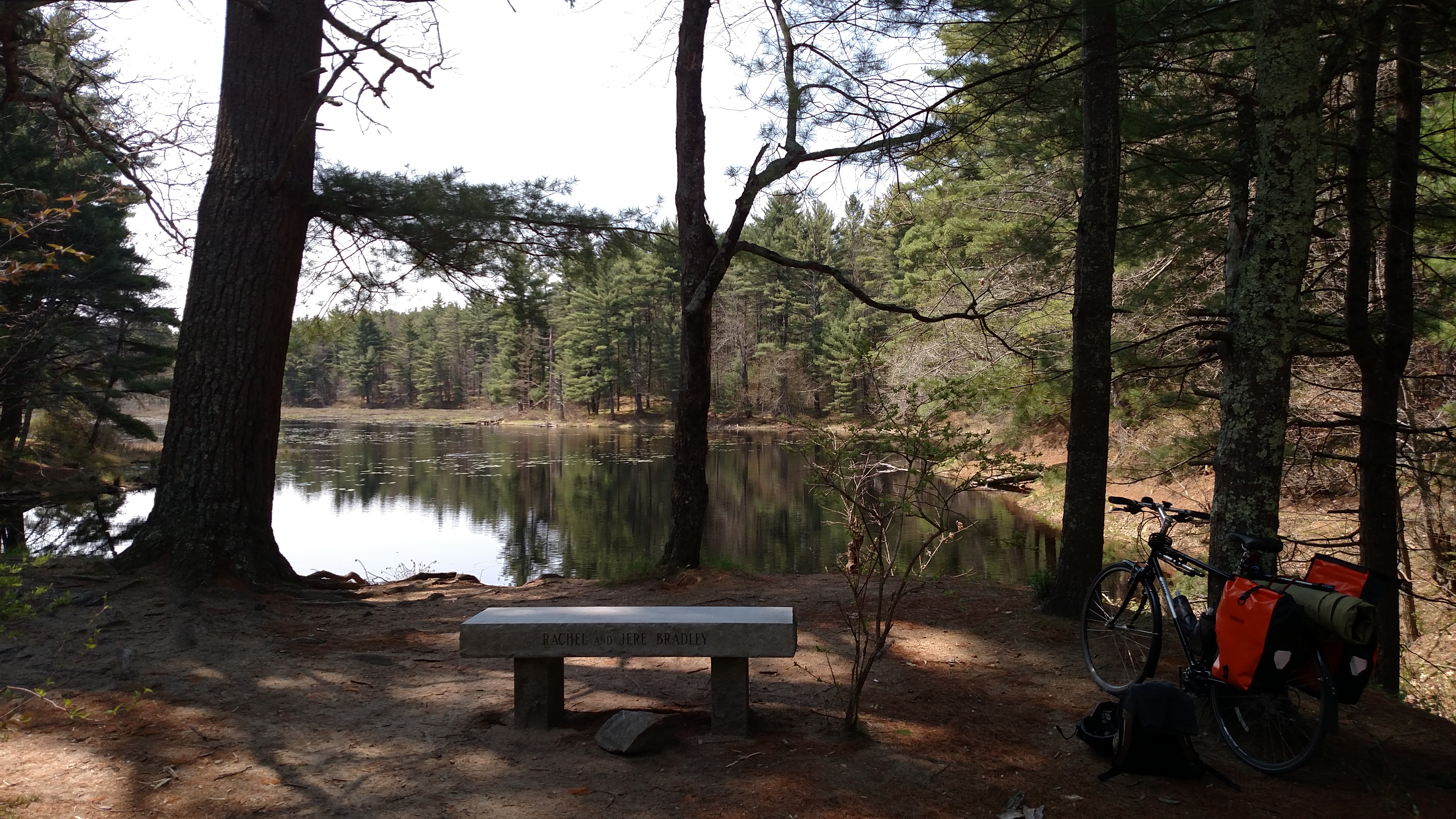 My first rest stop. The watersheds in this area are currently closed for hiking, as the posted signage informed me, in order to preserve the habitat
##I don’t love hills After ending the 11 or so miles on the rail trail, I was on various nice roads, mostly downhill, until Ware near the Quabbin Reservoir.
Fun story: on my way, Google maps routed me down a 1 mile long rocky path called “airport road” I begrudgingly followed it, telling myself more nature is always good, but wondering how it got it’s name, or why it was even deemed a road on the maps, being just a sandy ill maintained trail. Well it ended up opening up to a clearing with an airplane runway, and signage telling me not to venture further. So even though I could literally see the spot I had to get to to complete the use of the path as a thru-way, I turned around and took out back to continue my use of actual roads.
In Ware I hit a series of hills, and having them back to back really tested me, but I got through them, knowing it all downhill after there, with another rail trail (the Norwattuck Rail Trail) to round out the day.
 Scenic cut-outs on the Norwattuck Rail Trail. I do wish I stopped to take more pictures with my DSLR, but stopping and lugging it out of my bag is not always ideal.
I carb loaded for tomorrow at a nice grocery store adjacent to the trail and conveniently just over a mile from my motel. It had a hot food bar and sold smoothies. Score.
Until tomorrow!