Training
To The Cape
I wanted to get a feel for what my cross-country trip will entail, and though I arguably could have done some of that before getting my heart set on biking 3000+ miles, sometimes things just dont work like that.
My last day at work was a Friday, and it was a great day. A company-wide Unconference was held the second half of the day and it gave me time to unwind and share thoughts with coworkers, say my farewells and well-wishes, and buy some tickets for Nickerson State Park campground, which I would head to the next day. I got things packed and got to sleep early that night, as I planned on traveling roughly 100 miles the next day between train and bike.
Training, Biking, and Traning
I took the MBTA Red Line from Davis to South Station, getting my first taste of what it would be like to ride with fully-packed panniers on my way to the station. It didn’t seem burdensome with the extra weight, but I did notice a slight wobble when standing, so I plan to address that by hopefully moving some weight forward on the bike.
From South Station I took the Commuter Rail to Middleborough, MA and arrived around 9:30 AM. Then it was time to start biking. I had roughly 62 miles to travel to the campsite, longer than I had ridden in single day but not daunting, as I had the whole day to travel as well as plently of food and water with me. The first stretch was on the lightly trafficked south stretch of route 28.
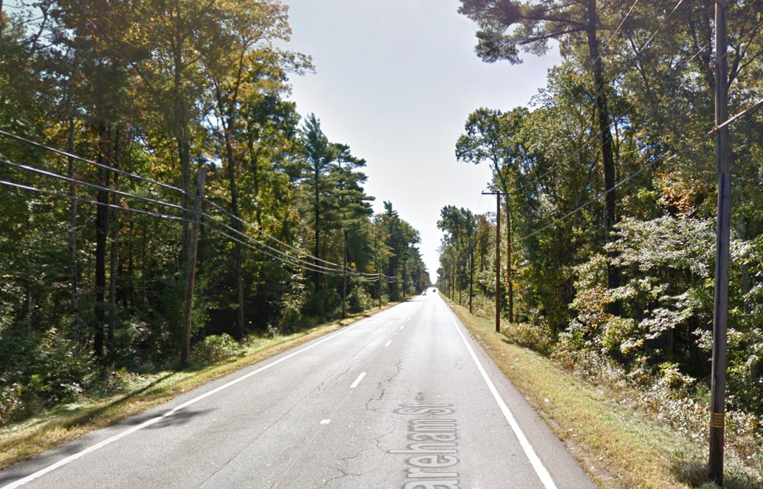 I was very thankful to get some beautiful stretches like this, blatently ripped from Google Street View because I didn’t stop to take a picture.
The first notable point was when I had to cross the Cape Cod Canal using the Bourne Bridge (the southernmost bridge of a pair of two 4-lane steel suspension bridges spanning the canal). I gladly heeded the advice prompting cyclists to dismount before walking across the pedestrian sidewalk for about a half mile over the bridge. I didn’t stop to take a picture from the top, since I was paranoid I would clumsily drop my phone.
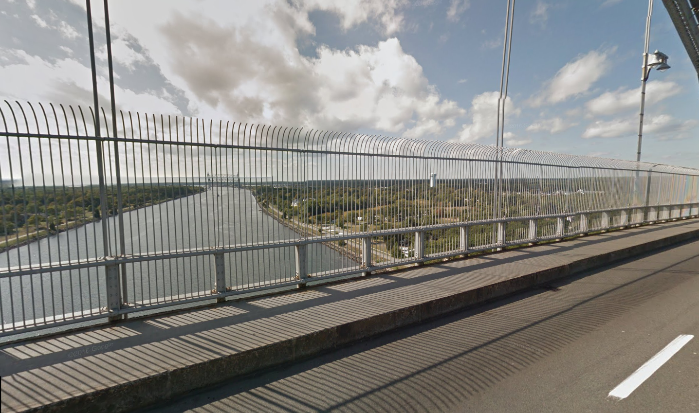 Another Google Streetview to get a sense.
After I had made my way across, it was underneath the bridge and then along the canal’s service path, which is open to bikers and walkers.
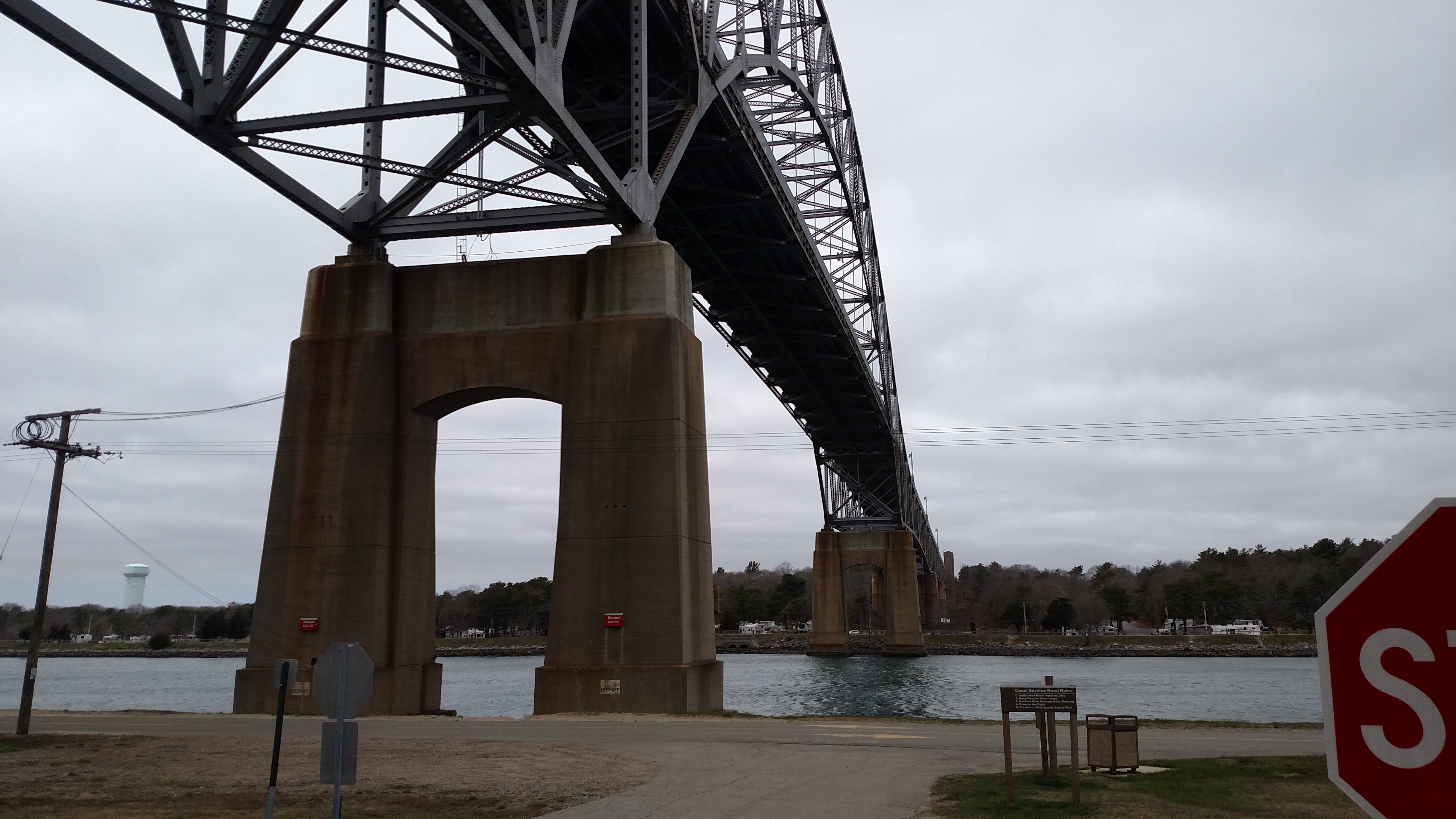 A view from underneath. This bridge is large.
As you may have noticed from the picture above, it had been getting cloudy throughout the day, and winds were picking up. Along the wide open canal, the winds were the strongest of the day, and were headed straight towards me, making my forward progress essentially as difficult as heading uphill, if not more difficult due to the inconsistent nature of wind. There were a few kids with their father or maybe scouts in a troop biking on the path as well, heading the opposite direction as me. I heard a shout of “you can do it!” which I honestly may have needed at that point.

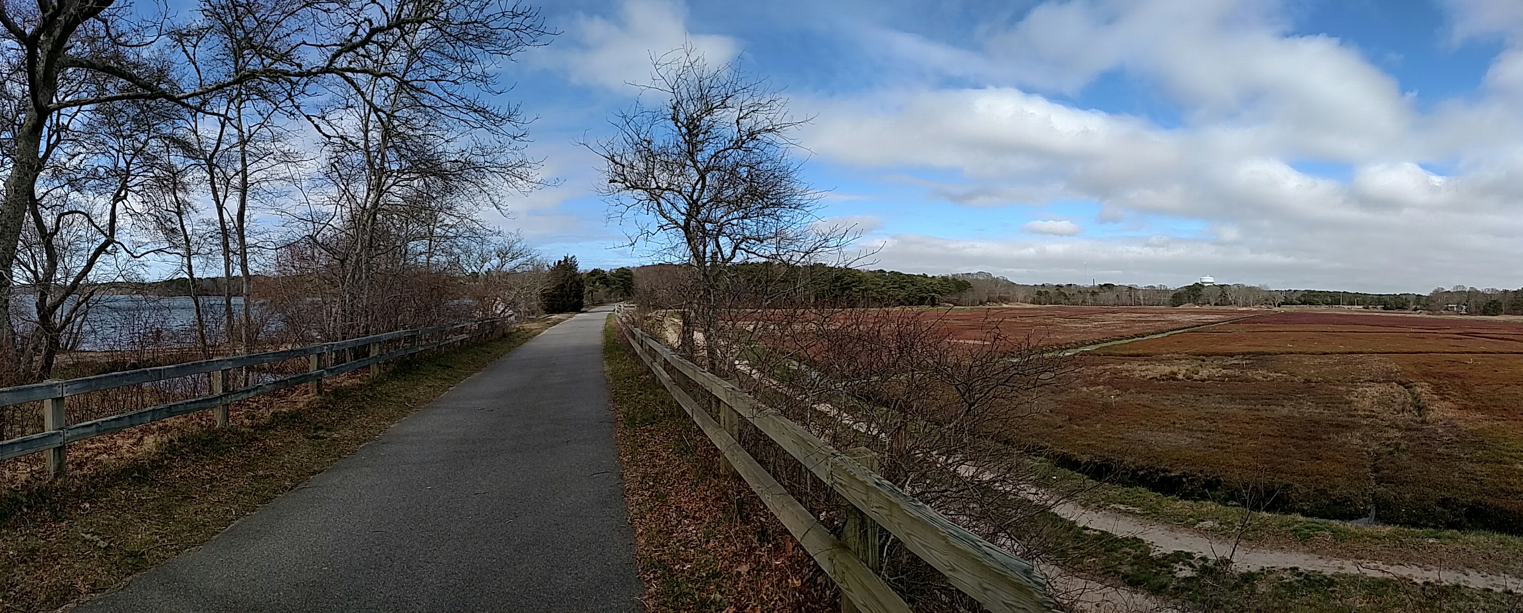
Once I got off of the path, I could tell I was on “The Cape”. The roads were more winding and were pocked with souvenere shops and other small businesses with names like “Nirvana”. I soon made it onto Cape Cod Route 6A, “The Old King’s Highway”, which was a rolling stretch of small hills along the ocean, but insulated enough not to be windy.
Not long after I made it to the CCRT, the Cape Cod Rail Trail, and was happy to take my last water/snack break leaning up against an informational plaque as the sun was finally making an appearence. A few bikers were traveling the trail as well, and I was asked at least a few times during my break if I was “all set”, i.e. if I was in need of repairs. Thankfully I was not in need, and I am always impressed by people’s thoughtfullness when asked this while biking. It gives me assurance that help may never be too far away when I start my cross-country trip.
 On the Cape Cod Rail Trail.
Finally I rolled in to Nickerson State Park sometime after 4, and was happy to sign in and get to my camp site. Unfortunately, the site I had booked was mostly sand, stone, and debris. So I went back to the main office and asked to be moved across the street to a nicer spot, which they gladly did.
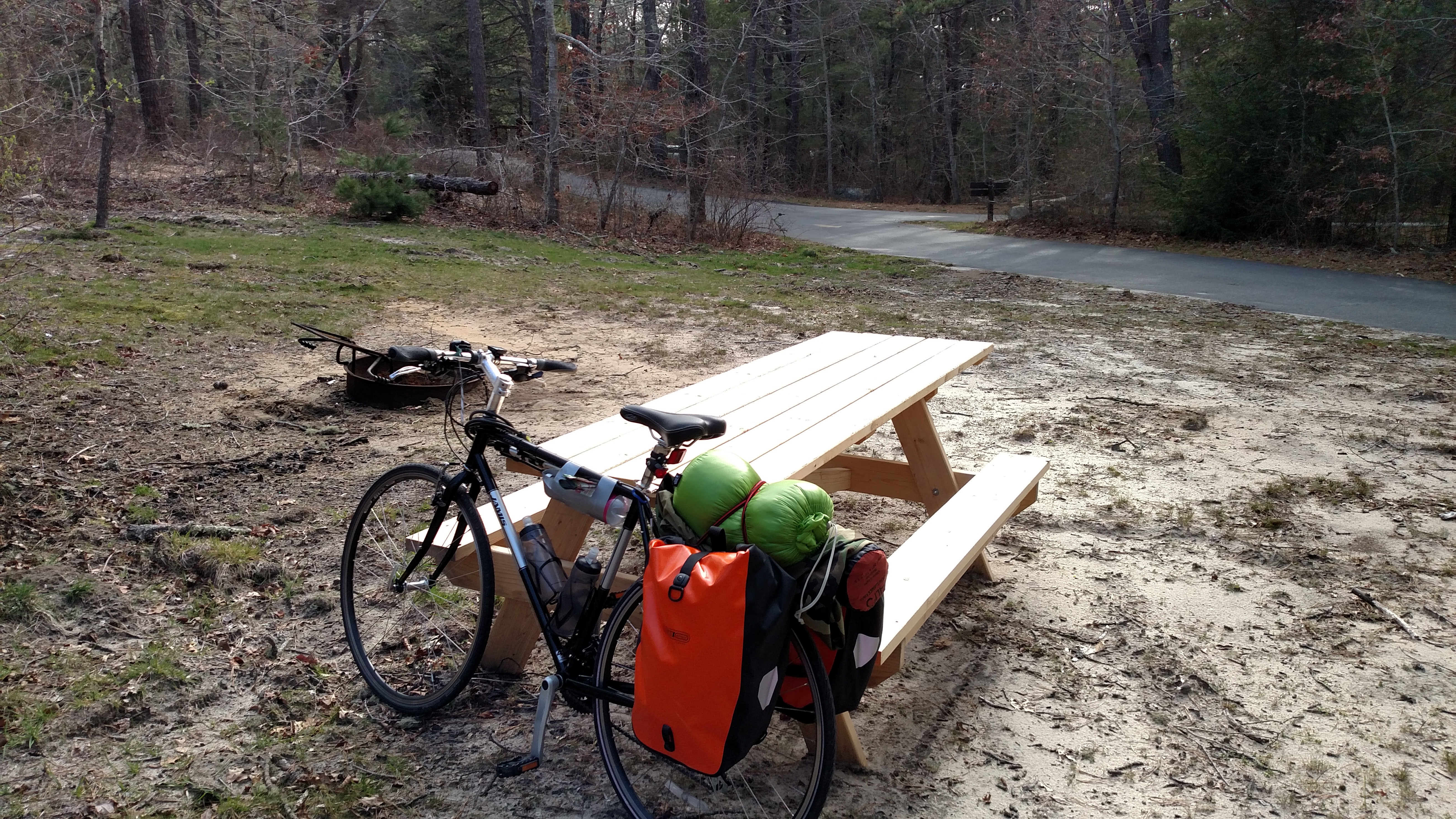 My original site. Laughably rough. Rest assured, where I got moved to was much nicer, flatter, and had both sun and shade.
Much of that night’s events were done to stay warm and in good sprits, as this was my first experience camping solo. I think I fared pretty well with that considered. I bought some firewood and beans from the camp store and heated the can of beans over the fire and some Oatmeal using the MSR ultralight stove I had brought. Not the heartiest of meals considering the milage I had done that day, but I think it met the caloric needs I had. And with that done, I jumped in my sleeping bag early, threw my bivvy sac over my head for some more warmth, and crashed.
Hiking
The next day was a break day I had no obligations and no real itenerary other than to explore, and I did so, hiking the loop around the pond in the center of the campground. A fair amount of people were out enjoying the sunny day, fishing and walking.
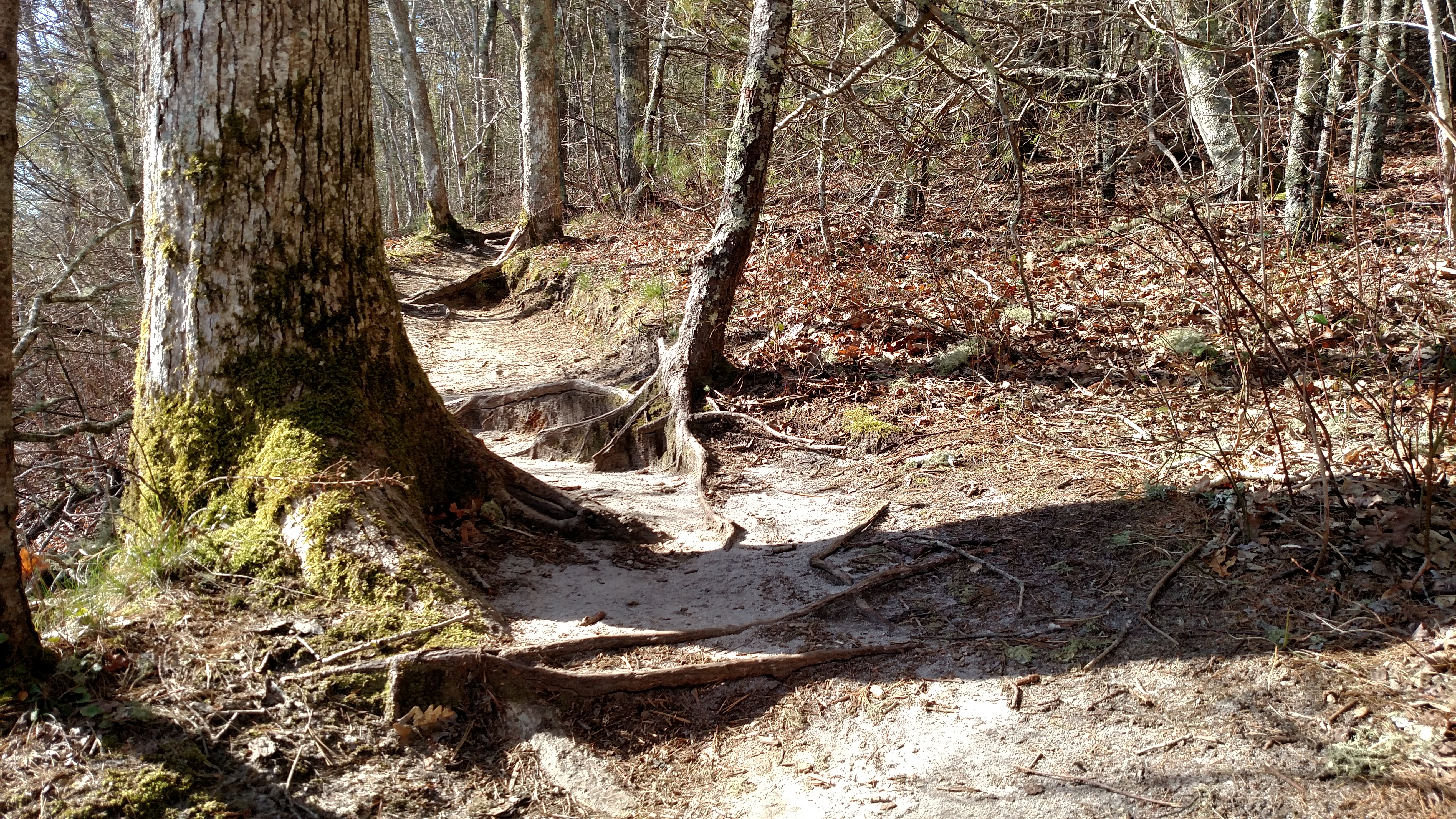 Paths around Cliff Pond
I’ll have to cut off some more details as this post is getting longer than I would have liked.
Back to Base
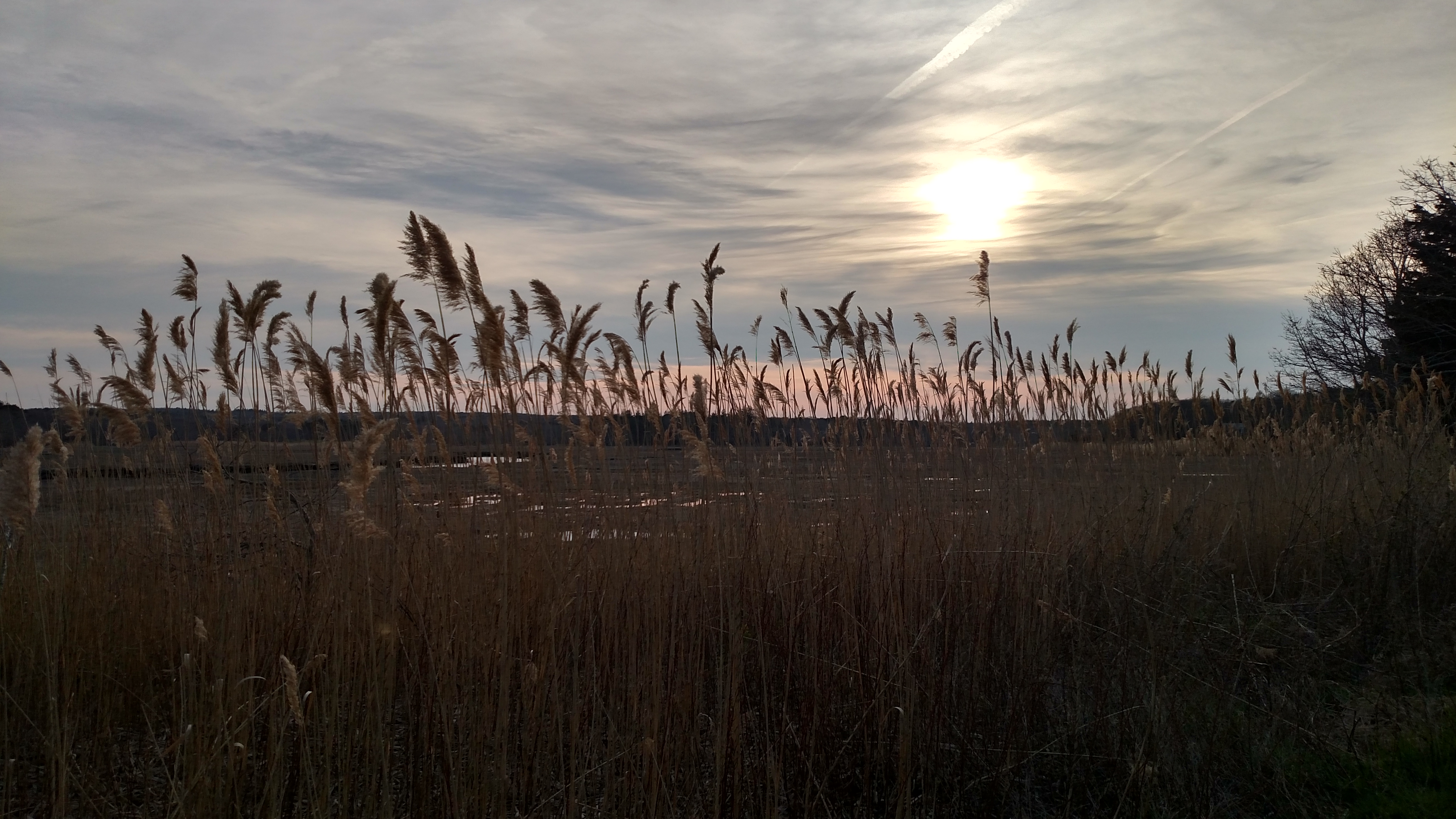
I learned that Commuter Rail service would not allow Bikes on the trains on Monday due to the Boston Marathon, so I took a layover at a motel and took this great shot of the sunset over a marsh. These shots were taken with my phone but I hope to carry my DSLR on my cross-country trip.
I traveled back, mostly the way I had came, to my apartment in Somerville and where I am continuing to prep.
Speaking of which, I’ll likely be prepping and training for the next ~2 weeks or so and then start on the long journy to San Fransisco. More details when I have them. Peace.